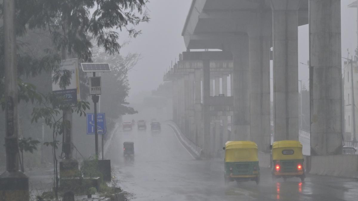
A study which examined the spatial rainfall trends across India has found that the amount of rainfall per day in certain parts of India has increased during the last decade 2011-2020 compared with the previous decade (2001-2010) while certain other parts have witnessed a reduction in the rainfall amount. The study has used the GSMaP-ISRO data to arrive at this conclusion. The study has also found that the timing of peak rainfall has also shifted in different ways across certain Indian regions during the last decade (2011-2020) compared with the earlier decade (2001-2010).
The study, which was published in the Geophysical Research Letters on March 17, 2025, used the GSMaP-ISRO data; GSMaP stands for Global Satellite Mapping of Precipitation. “The GSMaP-ISRO is a precipitation product specifically for the Indian subcontinent which was developed through an agreement between ISRO and the Japan Aerospace Exploration Agency (JAXA)”. Precipitation data from GSMaP-ISRO are available from March 2000 onwards and are available at very fine resolution of 0.1 x 0.1 degree latitude/longitude grid with a temporal resolution of one hour.
The study found that west-central India experienced a slight increase in rainfall during the last decade (2011–2020) compared to the previous decade (2001–2010). The increase in rainfall in the west-central region during the period 2011-2020 was around 2 mm per day. Besides the west-central region, the Indo-Gangetic Plain and the southernmost parts of the country had also experienced slightly increased rainfall per day. In contrast, the eastern region received slightly less rainfall of about 1 mm per day during the period 2011-2020. The scenario was different during the previous decade. From 2001 to 2010, the northeastern and eastern parts experienced 1-2 mm more rainfall per day, while southern and central regions faced a decline. “Though the Indo-Gangetic Plain and the southernmost parts of the country experienced slightly more rainfall per day, it was less than what the west-central region had received,” says Dr. Kandula V. Subrahmanyam from the National Remote Sensing Center (NRSC), ISRO, Hyderabad, and the corresponding author of the paper.
The slight increase in daily rainfall over the west-central region appears to be linked to increased vegetation. The study found an increase in spatial vegetation cover over west-central India during the last decade compared with the previous decade. The increase in vegetation cover over west-central India is reflected in the increase in the average normalised difference vegetation index (NDVI) value from around 0.2 to 0.4. NDVI is used for quantifying vegetation greenness and is useful in understanding vegetation density. “The time series of NDVI in west‐central India, where the rainfall is increasing, shows a significant increase in vegetation growth over time,” he says. “Increased vegetation leads to increased transpiration by plants, which releases water vapour into the atmosphere. During the summer monsoon period, the evapotranspiration process occurring because of vegetation plays a crucial role.”
Along with an increase in vegetation cover, there has been a significant increase in soil moisture content over west‐central India in the recent decade (2011-2020) compared with the previous period (2001-2010), while the eastern region showed a notable decrease during the same period. Like increased vegetation, increase in soil moisture content is also strongly and positively correlated with rainfall.
“Another important aspect uncovered by our study is the shift in the timing of maximum precipitation or peak time of maximum rainfall during a 24-hour period,” Dr. Subrahmanyam says. “In general, the peak time of maximum rainfall in the Arabian Sea and the Bay of Bengal is in the morning, while in the case of inland, the peak time of maximum rainfall is in the afternoon.” The study found that compared with the previous decade, the peak time of maximum rainfall in the Indo-Gangetic Plain has advanced by two-four hours, while in the west-central region, the peak time of maximum rainfall has delayed by one-two hours.
The occurrence and timing of maximum rainfall is influenced by the changes in the amount of aerosols or aerosol loading. “In the case of the Indo-Gangetic Plain, aerosol loading is high compared with the west-central region. More aerosol loading leads to early peaking of rainfall,” says Dr. Subrahmanyam. Previous studies have shown that in polluted conditions, heavy rainfall peaks earlier, and the maximum rainfall peaks approximately six hours earlier compared to clean days in Beijing.
“This is because aerosols absorb and scatter solar radiation, which results in heating in the atmosphere and cooling on the surface, causing changes in atmospheric vertical static stability and subsequently, modulation of rainfall,” the authors write. Dr. Subrahmanyam says a similar mechanism might have happened over the Indo-Gangetic Plain. “Higher aerosol loading may be responsible for the early peak rainfall over the the Indo-Gangetic Plain, while the relatively lower aerosol causing late peak rainfall over west-central India during the last decade (2011-2020),” he says.
Published – April 12, 2025 11:00 pm IST
