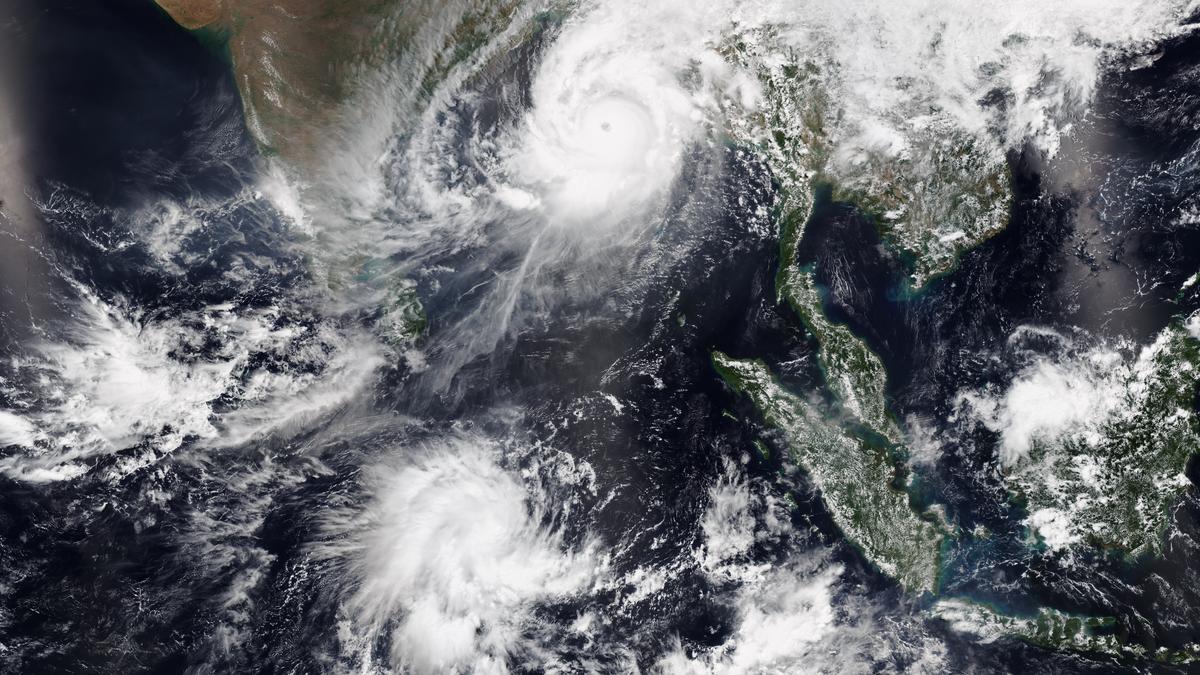
Cyclone Mocha and Tropical Disturbance 10, which would later become Fabien, on both sides of the equatorial Indian Ocean on May 13, 2023.
| Photo Credit: NOAA
The story so far: If you think of a cyclone as a machine, it would be an incredibly powerful entity — an engine that draws heat from the earth’s tropical waters to drive destructive winds, heavy and widespread rainfall, and storm surges. Similar storms are known variously as hurricanes in the Atlantic and eastern Pacific Oceans and typhoons in the western Pacific Ocean. Understanding how they form, intensify, and are measured is crucial both for scientific forecasting and for preparing vulnerable communities for their effects.
How do cyclones form?
A tropical cyclone begins as an area of low pressure, often associated with clusters of thunderstorms. For such a disturbance to develop into a cyclone, several atmospheric and oceanic conditions must come together. The most important is warm sea surface temperature, generally above 26.5° C and up to a depth of at least 50 m. When moist air near such a water surface rises, it releases its latent heat, cools, and condenses to form clouds. The released heat warms the surrounding air, causing it to rise even further and drawing in more moist air from below, setting up a self-reinforcing cycle of convection.
A second important condition is that the atmosphere must be unstable, i.e. rising air must continue to rise rather than being forced back down, and there must be a sufficient Coriolis force to induce rotation. Because the Coriolis effect is weakest at the equator, cyclones rarely form within about five degrees of latitude from it. At the same time, the vertical wind shear, which is the difference in wind speed and direction between the lower and the upper levels of the atmosphere, must be low. High wind shear can disrupt a cyclone’s organised circulation and keep it from building in strength.
As the cyclone develops, a well-defined centre called the eye may form. This is a calm, clear region surrounded by a ring of towering thunderstorms that produce the most intense winds and heaviest rainfall, called the eyewall. Air spirals in towards the low-pressure centre at the surface and rises rapidly near the eyewall, while at higher altitudes it flows outwards, completing the circulation.
How are cyclones classified?
Since the storm draws energy from the ocean through evaporation, it can intensify as long as it remains over warm water.
Cyclones are primarily classified by their maximum sustained wind speed and central pressure. Different ocean basins use slightly different classification schemes but the principle is the same. In the North Atlantic and eastern Pacific Oceans, the Saffir-Simpson Hurricane Wind Scale categorises storms from Category 1 (119-153 km/hr winds) to Category 5 (>252 km/hr). In the North Indian Ocean, the India Meteorological Department classification ranges from a ‘depression’ (31-49 km/hr) to ‘super cyclonic storm’ (>222 km/hr).
For measurements, meteorologists use ground-based observations, aircraft reconnaissance, satellite data, and ocean buoys. Satellites play a crucial role in monitoring cyclones over remote ocean areas: infrared images help estimate the temperature of cloud tops, indicating storm intensity, while visible and microwave sensors reveal structure, rainfall distribution, and eye formation.
In the North Atlantic, specialised aircraft called hurricane hunters fly directly into cyclones to measure wind speeds, pressure, humidity, and temperature. Instruments called dropsondes are released into the storm, transmitting data as they fall. In the Indian Ocean, satellites and automated buoys provide most of the data. Buoys track sea surface temperature, wave height, and air pressure.
How well are cyclones forecast?
Forecasting the path and intensity of cyclones remains a complex challenge, however. Sophisticated numerical weather models simulate atmospheric and oceanic conditions, but even small errors in initial data can lead to large uncertainties. Advances in computing power, remote sensing, and data assimilation have improved forecasts significantly over the last few decades. Today, most meteorological agencies can predict a cyclone’s track three to five days in advance with reasonable accuracy.
Cyclones are also measured by their consequences. Accumulated rainfall, storm surge height, and area affected by gale-force winds are essential to assess potential damage. After landfall, impact-based assessments, combining physical measurements with social and economic data, can help determine the disaster’s severity and guide relief efforts.
Published – October 29, 2025 01:58 pm IST